camzappersTo the globe

Webcams in Corona

45 public webcams in Corona, United States of America: water 1, road 44. See the latest image of each cam and go to the owner for the live view.

The cams
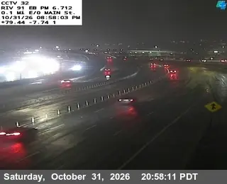
  1. Latest image of SR-91 : (32) 0.3 Miles East of Main StreetSR-91 : (32) 0.3 Miles East of Main StreetSignal · Road
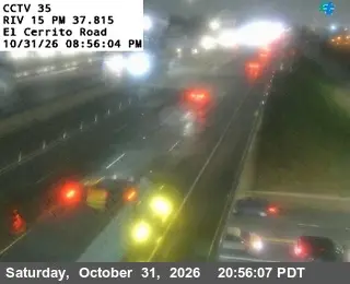
  2. Latest image of I-15 : (35) El Cerrito RoadI-15 : (35) El Cerrito RoadSignal · Road
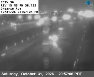
  3. Latest image of I-15 : (36) Ontario AvenueI-15 : (36) Ontario AvenueSignal · Road
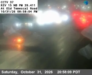
  4. Latest image of I-15 : (37) Old Temescal RoadI-15 : (37) Old Temescal RoadSignal · Road
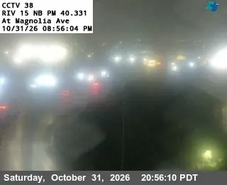
  5. Latest image of I-15 : (38) Magnolia AvenueI-15 : (38) Magnolia AvenueSignal · Road
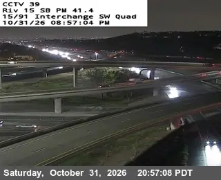
  6. Latest image of I-15 : (39) SR-91 Connector SW QuadI-15 : (39) SR-91 Connector SW QuadSignal · Road
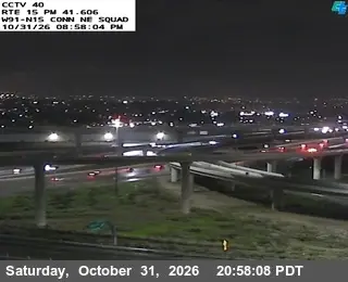
  7. Latest image of I-15 : (40) SR-91 Connector NE QuadI-15 : (40) SR-91 Connector NE QuadSignal · Road
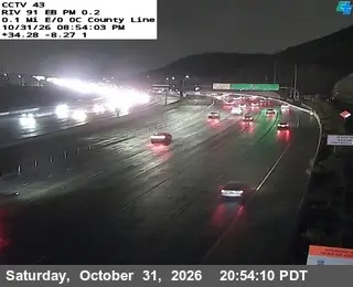
  8. Latest image of SR-91 : (43) 0.1 Miles East of County LineSR-91 : (43) 0.1 Miles East of County LineSignal · Road
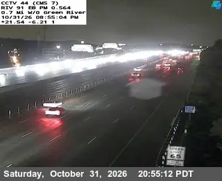
  9. Latest image of SR-91 : (44) 0.7 Miles West of Green RiverSR-91 : (44) 0.7 Miles West of Green RiverSignal · Road
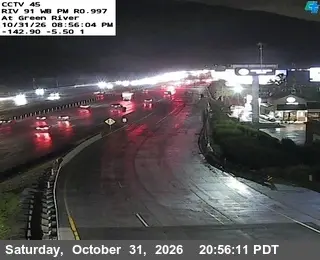
  10. Latest image of SR-91 : (45) Green RiverSR-91 : (45) Green RiverSignal · Road
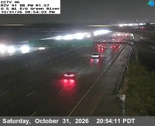
  11. Latest image of SR-91 : (46) 0.5 Miles East of Green RiverSR-91 : (46) 0.5 Miles East of Green RiverSignal · Road
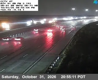
  12. Latest image of SR-91 : (47) SR-71SR-91 : (47) SR-71Signal · Road
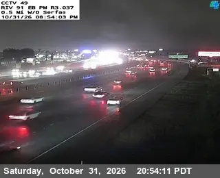
  13. Latest image of SR-91 : (49) 0.5 Miles West of SerfasSR-91 : (49) 0.5 Miles West of SerfasSignal · Road
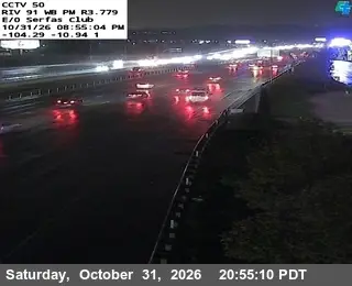
  14. Latest image of SR-91 : (50) East of Serfas ClubSR-91 : (50) East of Serfas ClubSignal · Road
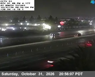
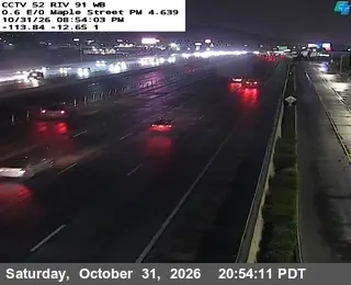
  15. Latest image of SR-91 : (51) Maple StreetSR-91 : (51) Maple StreetSignal · Road
  16. Latest image of SR-91 : (52) 0.1 Miles West of SmithSR-91 : (52) 0.1 Miles West of SmithSignal · Road
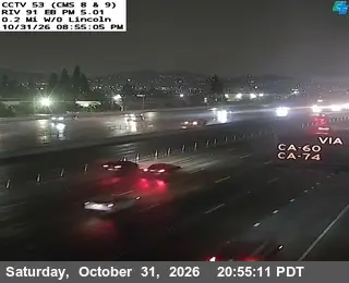
  17. Latest image of SR-91 : (53) 0.3 Miles East of SmithSR-91 : (53) 0.3 Miles East of SmithSignal · Road
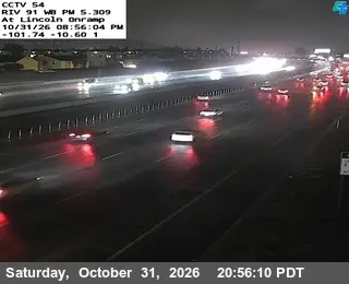
  18. Latest image of SR-91 : (54) Lincoln OnrampSR-91 : (54) Lincoln OnrampSignal · Road
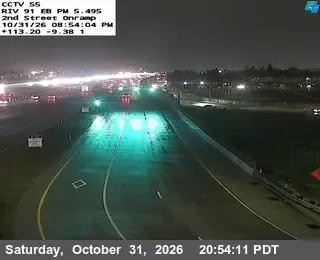
  19. Latest image of SR-91 : (55) 2nd Street OnrampSR-91 : (55) 2nd Street OnrampSignal · Road
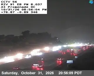
  20. Latest image of SR-91 : (56) Promenade OvercrossSR-91 : (56) Promenade OvercrossSignal · Road
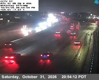
  21. Latest image of SR-91 : (57) Mckinley OfframpSR-91 : (57) Mckinley OfframpSignal · Road
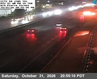
  22. Latest image of SR-91 : (58) West of PierceSR-91 : (58) West of PierceSignal · Road
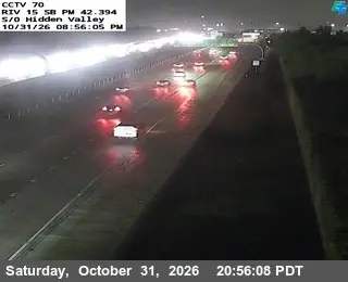
  23. Latest image of I-15 : (70) Hidden Valley ParkwayI-15 : (70) Hidden Valley ParkwaySignal · Road
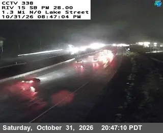
  24. Latest image of I-15 : (338) 1.3 Miles North of Lake StreetI-15 : (338) 1.3 Miles North of Lake StreetSignal · Road
  25. Latest image of I-15 : (337) North of Lake StreetI-15 : (337) North of Lake StreetSignal · Road
  26. Latest image of I-15 : (339) South of Horsethief Canyon RoadI-15 : (339) South of Horsethief Canyon RoadSignal · Road
  27. Latest image of I-15 : (340) 0.7 Miles South of Indian Truck Trail RoadI-15 : (340) 0.7 Miles South of Indian Truck Trail RoadSignal · Road
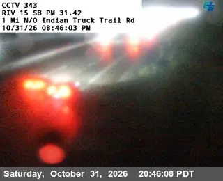
  28. Latest image of I-15 : (343) 1 Mile North of Indian Truck Trail RoadI-15 : (343) 1 Mile North of Indian Truck Trail RoadSignal · Road
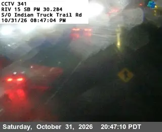
  29. Latest image of I-15 : (341) South of Indian Truck Trail RoadI-15 : (341) South of Indian Truck Trail RoadSignal · Road
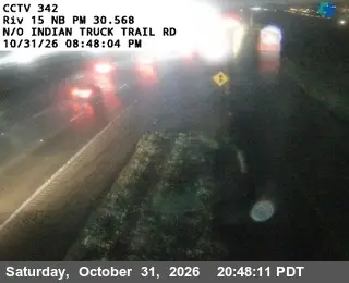
  30. Latest image of I-15 : (342) North of Indian Truck Trail RoadI-15 : (342) North of Indian Truck Trail RoadSignal · Road
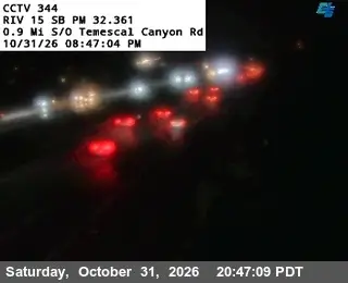
  31. Latest image of I-15 : (344) 0.9 Miles South of Temescal Canyon RoadI-15 : (344) 0.9 Miles South of Temescal Canyon RoadSignal · Road
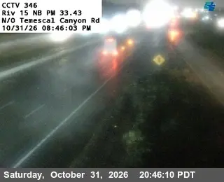
  32. Latest image of I-15 : (346) North of Temescal Canyon RoadI-15 : (346) North of Temescal Canyon RoadSignal · Road
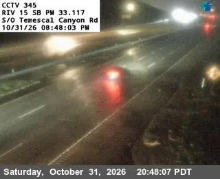
  33. Latest image of I-15 : (345) South of Temescal Canyon RoadI-15 : (345) South of Temescal Canyon RoadSignal · Road
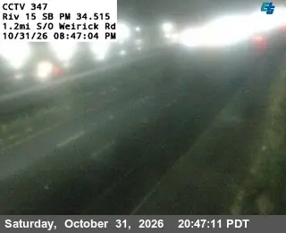
  34. Latest image of I-15 : (347) 1.2 Miles South of Werick RoadI-15 : (347) 1.2 Miles South of Werick RoadSignal · Road
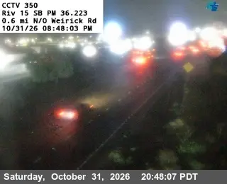
  35. Latest image of I-15 : (350) 0.6 Miles North of Werick RoadI-15 : (350) 0.6 Miles North of Werick RoadSignal · Road
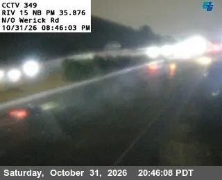
  36. Latest image of I-15 : (349) North of Werick RoadI-15 : (349) North of Werick RoadSignal · Road
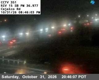
  37. Latest image of I-15 : (351) Cajalco RoadI-15 : (351) Cajalco RoadSignal · Road
  38. Latest image of I-15 : (348) South of Werick RoadI-15 : (348) South of Werick RoadSignal · Road
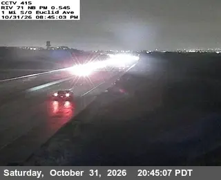
  39. Latest image of SR-71 : (415) 1 Mi S/O EuclidSR-71 : (415) 1 Mi S/O EuclidSignal · Road
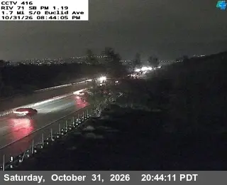
  40. Latest image of SR-71 : (416) 1.7 Mi S/O EuclidSR-71 : (416) 1.7 Mi S/O EuclidSignal · Road
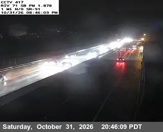
  41. Latest image of SR-71 : (417) 1 Mi N/O SR-91SR-71 : (417) 1 Mi N/O SR-91Signal · Road
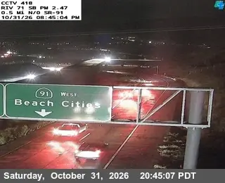
  42. Latest image of SR-71 : (418) 0.5 Mi N/O SR-91SR-71 : (418) 0.5 Mi N/O SR-91Signal · Road
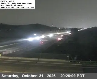
  43. Latest image of SR-71 : (401) At Euclid AveSR-71 : (401) At Euclid AveSignal · Road
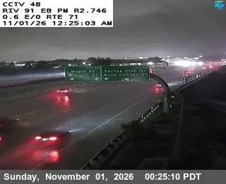
  44. Latest image of SR-91 : (48) 0.6 Miles East of SR-71SR-91 : (48) 0.6 Miles East of SR-71Signal · Road
  45. This cam is shySanta Ana River below Prado DamSignal uncertain · Water