camzappersTo the globe

Signal#2660Road

SR-91 : (52) 0.1 Miles West of Smith

Corona, United States of America
Latest image of SR-91 : (52) 0.1 Miles West of Smith
Image from quickmap.dot.ca.gov

Watch live at quickmap.dot.ca.gov ↗On the globe

SR-91 : (52) 0.1 Miles West of Smith is a public webcam in Corona, United States of America, viewable at quickmap.dot.ca.gov. Corona has 44 other cams on Camzappers. The nearest other cam is SR-91 : (53) 0.3 Miles East of Smith, under 1 km away.

Place
Corona
Country
United States of America
Continent
North America
Type
Road
Image
the owner's still image
Found via
Caltrans
Coordinates
33.8818, -117.5954

Nearby

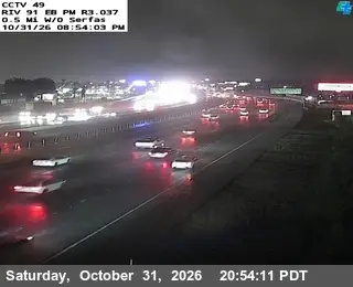
  1. Latest image of SR-91 : (49) 0.5 Miles West of SerfasSR-91 : (49) 0.5 Miles West of SerfasSignal · 3 km
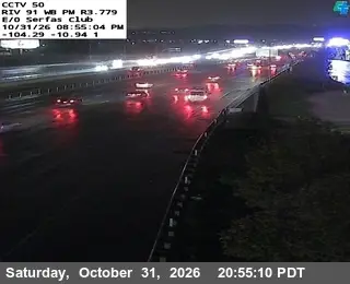
  2. Latest image of SR-91 : (50) East of Serfas ClubSR-91 : (50) East of Serfas ClubSignal · 2 km
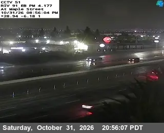
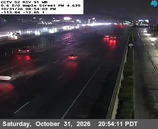
  3. Latest image of SR-91 : (51) Maple StreetSR-91 : (51) Maple StreetSignal · under 1 km
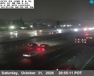
  4. Latest image of SR-91 : (53) 0.3 Miles East of SmithSR-91 : (53) 0.3 Miles East of SmithSignal · under 1 km
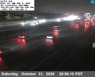
  5. Latest image of SR-91 : (54) Lincoln OnrampSR-91 : (54) Lincoln OnrampSignal · 1 km
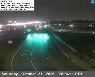
  6. Latest image of SR-91 : (55) 2nd Street OnrampSR-91 : (55) 2nd Street OnrampSignal · 1 km