camzappersTo the globe

Signal#2949Road

I-10 : (544) East of Route 177

Desert Center, United States of America

Latest image of I-10 : (544) East of Route 177
Image from quickmap.dot.ca.gov

Watch live at quickmap.dot.ca.gov ↗On the globe

I-10 : (544) East of Route 177 is a public webcam in Desert Center, United States of America, viewable at quickmap.dot.ca.gov. Desert Center has 1 other cam on Camzappers. The nearest other cam is I-10 : (547) East of Corn Springs Road, 12 km away.

Place
Desert Center
Country
United States of America
Continent
North America
Type
Road
Image
the owner's still image
Found via
Caltrans
Coordinates
33.7041, -115.3289

Nearby

  1. Latest image of I-10 : (538) East of Hayfield RoadI-10 : (538) East of Hayfield RoadSignal · 26 km
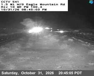
  2. Latest image of I-10 : (541) West of Eagle Mountain RdI-10 : (541) West of Eagle Mountain RdSignal · 14 km
  3. Latest image of I-10 : (547) East of Corn Springs RoadI-10 : (547) East of Corn Springs RoadSignal · 12 km
  4. Latest image of I-10 : (550) Esso DitchI-10 : (550) Esso DitchSignal · 26 km
  5. Latest image of I-10 : (553) West of Wiley WellI-10 : (553) West of Wiley WellSignal · 39 km
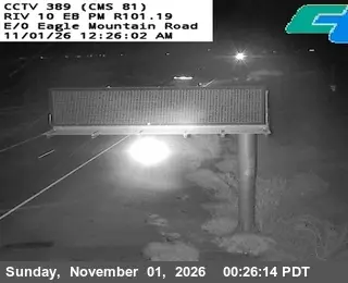
  6. Latest image of I-10: (389) W/O EAGLE MOUNTAIN RDI-10: (389) W/O EAGLE MOUNTAIN RDSignal · 13 km