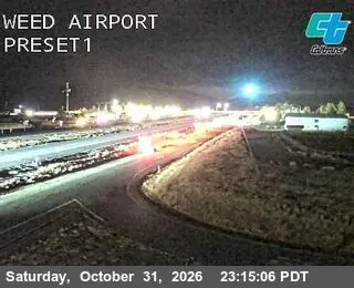
Weed Airport
Weed, United States of America
Watch live at quickmap.dot.ca.gov ↗On the globe
Weed Airport is a public webcam in Weed, United States of America, viewable at quickmap.dot.ca.gov. Weed has 5 other cams on Camzappers. The nearest other cam is Shasta River Bridge, 4 km away.
- Place
- Weed
- Country
- United States of America
- Continent
- North America
- Type
- Road
- Image
- the owner's still image
- Found via
- Caltrans
- Coordinates
- 41.4743, -122.4529