camzappersTo the globe

Signal#3792Road

SR-261 : (317) 1500 Meters South of Handy Creek Road

Irvine, United States of America

Latest image of SR-261 : (317) 1500 Meters South of Handy Creek Road
Image from quickmap.dot.ca.gov

Watch live at quickmap.dot.ca.gov ↗On the globe

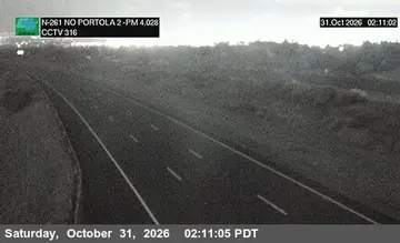
SR-261 : (317) 1500 Meters South of Handy Creek Road is a public webcam in Irvine, United States of America, viewable at quickmap.dot.ca.gov. Irvine has 36 other cams on Camzappers. The nearest other cam is SR-261 : (316) 1900 Meters North of Portola Parkway (West) Overcross, under 1 km away.

Place
Irvine
Country
United States of America
Continent
North America
Type
Road
Image
the owner's still image
Found via
Caltrans
Coordinates
33.7631, -117.7588

Nearby

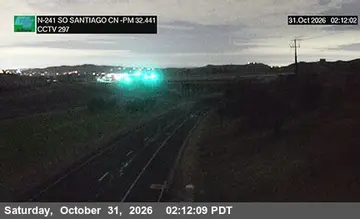
  1. Latest image of SR-241 : (297) 230 Meters SO Santiago Canyon Road OvercrossSR-241 : (297) 230 Meters SO Santiago Canyon Road OvercrossSignal · 2 km
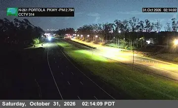
  2. Latest image of SR-261 : (314) 80 Meters South of Portola Parkway (West) OvercrossSR-261 : (314) 80 Meters South of Portola Parkway (West) OvercrossSignal · 3 km
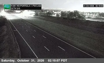
  3. Latest image of SR-261 : (315) 940 Meters North of Portola Parkway (West) OvercrossSR-261 : (315) 940 Meters North of Portola Parkway (West) OvercrossSignal · 2 km
  4. Latest image of SR-261 : (316) 1900 Meters North of Portola Parkway (West) OvercrossSR-261 : (316) 1900 Meters North of Portola Parkway (West) OvercrossSignal · under 1 km
  5. Latest image of SR-261 : (318) South of Handy CreekSR-261 : (318) South of Handy CreekSignal · 1 km
  6. Latest image of SR-261 : (319) SO Santiago Cyn RdSR-261 : (319) SO Santiago Cyn RdSignal · 2 km