camzappersTo the globe

Signal#2944Road

I-10 : (528) Smokey Gulsh

Indio, United States of America
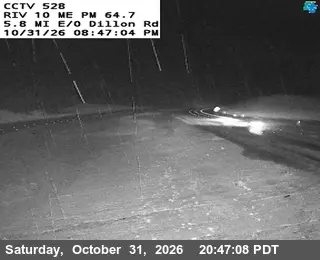
Latest image of I-10 : (528) Smokey Gulsh
Image from quickmap.dot.ca.gov

Watch live at quickmap.dot.ca.gov ↗On the globe

I-10 : (528) Smokey Gulsh is a public webcam in Indio, United States of America, viewable at quickmap.dot.ca.gov. Indio has 4 other cams on Camzappers. The nearest other cam is SR-86 : (392) 0.3 mi s/o 50th Street, 7 km away.

Place
Indio
Country
United States of America
Continent
North America
Type
Road
Image
the owner's still image
Found via
Caltrans
Coordinates
33.6999, -116.0876

Nearby

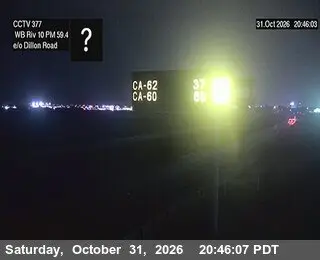
  1. Latest image of I-10 : (377) East of Dillion RoadI-10 : (377) East of Dillion RoadSignal · 7 km
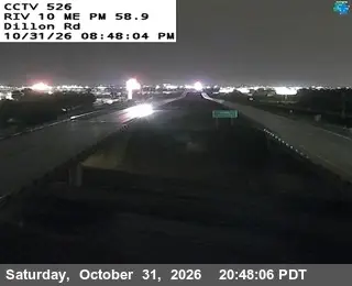
  2. Latest image of I-10 : (526) Dillon RoadI-10 : (526) Dillon RoadSignal · 8 km
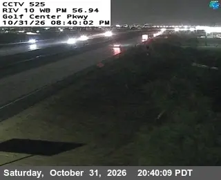
  3. Latest image of I-10 : (525) Golf Center PkwyI-10 : (525) Golf Center PkwySignal · 11 km
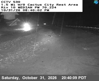
  4. Latest image of I-10 : (530) 1.5 w/o Cactus City Rest AreaI-10 : (530) 1.5 w/o Cactus City Rest AreaSignal · 9 km
  5. Latest image of SR-86 : (392) 0.3 mi s/o 50th StreetSR-86 : (392) 0.3 mi s/o 50th StreetSignal · 7 km
  6. Latest image of I-10 : (388) 0.5 Mi E/O Monroe StI-10 : (388) 0.5 Mi E/O Monroe StSignal · 14 km