camzappersTo the globe

Signal#2629Road

I-10 : (18) 1.0 Miles West of Cherry

Fontana, United States of America
Latest image of I-10 : (18) 1.0 Miles West of Cherry
Image from quickmap.dot.ca.gov

Watch live at quickmap.dot.ca.gov ↗On the globe

I-10 : (18) 1.0 Miles West of Cherry is a public webcam in Fontana, United States of America, viewable at quickmap.dot.ca.gov. Fontana has 21 other cams on Camzappers. The nearest other cam is I-10 : (17) West Side Etiwanda, 2 km away.

Place
Fontana
Country
United States of America
Continent
North America
Type
Road
Image
the owner's still image
Found via
Caltrans
Coordinates
34.0655, -117.5070

Nearby

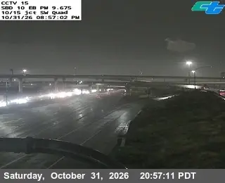
  1. Latest image of I-10 : (15) I-15 SW QuadI-10 : (15) I-15 SW QuadSignal · 4 km
  2. Latest image of I-10 : (16) I-15 E-N ConnectorI-10 : (16) I-15 E-N ConnectorSignal · 3 km
  3. Latest image of I-10 : (17) West Side EtiwandaI-10 : (17) West Side EtiwandaSignal · 2 km
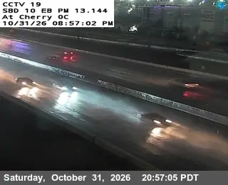
  4. Latest image of I-10 : (19) West Side Cherry OvercrossI-10 : (19) West Side Cherry OvercrossSignal · 2 km
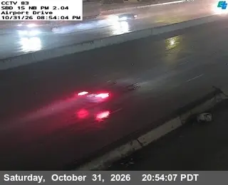
  5. Latest image of I-15 : (83) Airport DriveI-15 : (83) Airport DriveSignal · 3 km
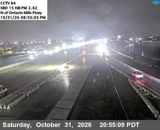
  6. Latest image of I-15 : (84) N of Ontario Mills PkwyI-15 : (84) N of Ontario Mills PkwySignal · 4 km