camzappersTo the globe

Signal uncertain#12933Water

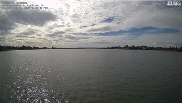
Sacramento River Deep Water Ship Channel at Marker 51

Rio Vista, United States of America
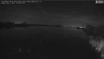
Latest image of Sacramento River Deep Water Ship Channel at Marker 51
Image from apps.usgs.gov

Watch live at apps.usgs.gov ↗On the globe

Sacramento River Deep Water Ship Channel at Marker 51 is a public webcam in Rio Vista, United States of America, viewable at apps.usgs.gov. Rio Vista has 9 other cams on Camzappers. The nearest other cam is Cache Slough at South Liberty Island near Rio Vista, 1 km away.

Place
Rio Vista
Country
United States of America
Continent
North America
Type
Water
Image
crop of the camera page
Found via
OpenStreetMap
Coordinates
38.2374, -121.6740

Nearby

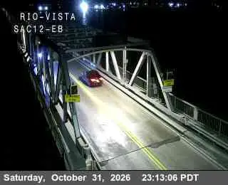
  1. Latest image of Hwy 12 at Rio Vista Bridge EastHwy 12 at Rio Vista Bridge EastSignal · 9 km
  2. Latest image of 49 - EB SR-12 Jct SR-160 RWIS49 - EB SR-12 Jct SR-160 RWISSignal · 9 km
  3. Latest image of Sacramento River at Rio VistaSacramento River at Rio VistaSignal uncertain · 10 km
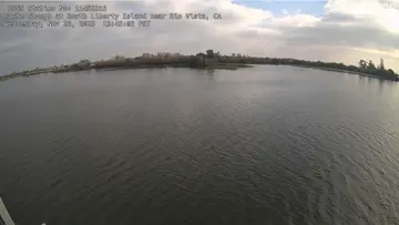
  4. Latest image of Cache Slough at South Liberty Island near Rio VistaCache Slough at South Liberty Island near Rio VistaSignal uncertain · 1 km
  5. This cam is shyGreen Slough near CourtlandSignal uncertain · 9 km
  6. This cam is shyNemeth Slough near CourtlandSignal uncertain · 7 km