camzappersTo the globe

Signal uncertain#12870Road

Bad River at U.S. Route 169

United States of America
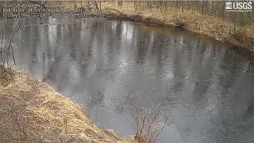
Latest image of Bad River at U.S. Route 169
Image from apps.usgs.gov

Watch live at apps.usgs.gov ↗On the globe

Bad River at U.S. Route 169 is a public webcam in United States of America, viewable at apps.usgs.gov. The nearest other cam is Potato River at Gurney, 18 km away.

Country
United States of America
Continent
North America
Type
Road
Image
crop of the camera page
Found via
OpenStreetMap
Coordinates
46.3353, -90.6519

Nearby

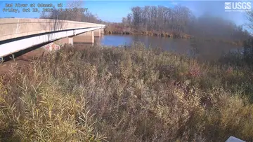
  1. Latest image of Bad River at OdanahBad River at OdanahSignal uncertain · 31 km
  2. Latest image of Ashland Breakwater Lighthouse at Chequamegon BayAshland Breakwater Lighthouse at Chequamegon BaySignal uncertain · 37 km
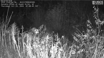
  3. Latest image of Denomie Creek at Aspen AcresDenomie Creek at Aspen AcresSignal uncertain · 23 km
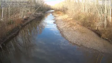
  4. Latest image of Potato River at GurneyPotato River at GurneySignal uncertain · 18 km
  5. Latest image of Marengo River at Riemer RoadMarengo River at Riemer RoadSignal uncertain · 18 km
  6. Latest image of Marengo River at Four Corners RoadMarengo River at Four Corners RoadSignal uncertain · 24 km