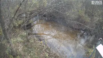
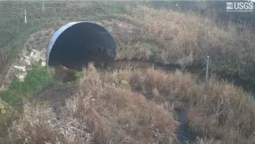
camzappersTo the globe

Signal uncertain#12578Road

Big Roche a Cri Creek at Highway G near Leola

Wisconsin Rapids, United States of America
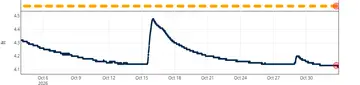
Latest image of Big Roche a Cri Creek at Highway G near Leola
Image from apps.usgs.gov

Watch live at apps.usgs.gov ↗On the globe

Big Roche a Cri Creek at Highway G near Leola is a public webcam in Wisconsin Rapids, United States of America, viewable at apps.usgs.gov. Wisconsin Rapids has 3 other cams on Camzappers. The nearest other cam is South Branch Tenmile Creek near Bancroft, 12 km away.

Place
Wisconsin Rapids
Country
United States of America
Continent
North America
Type
Road
Image
crop of the camera page
Found via
OpenStreetMap
Coordinates
44.1750, -89.6174

Nearby

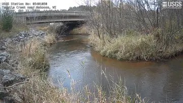
  1. Latest image of Yellow River at NecedahYellow River at NecedahSignal uncertain · 40 km
  2. Latest image of Tenmile Creek near NekoosaTenmile Creek near NekoosaSignal uncertain · 18 km
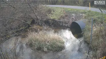
  3. Latest image of South Branch Tenmile Creek near BancroftSouth Branch Tenmile Creek near BancroftSignal uncertain · 12 km
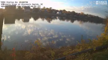
  4. Latest image of Wisconsin River at Wisconsin RapidsWisconsin River at Wisconsin RapidsSignal uncertain · 29 km
  5. Latest image of Little Plover River near PloverLittle Plover River near PloverSignal uncertain · 34 km
  6. Latest image of Chaffee Creek at I-39 near ColomaChaffee Creek at I-39 near ColomaSignal uncertain · 24 km