camzappersTo the globe

Signal uncertain#12314Road

Broadstreet Hollow Brook at State Route 28

United States of America
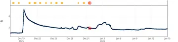
Latest image of Broadstreet Hollow Brook at State Route 28
Image from apps.usgs.gov

Watch live at apps.usgs.gov ↗On the globe

Broadstreet Hollow Brook at State Route 28 is a public webcam in United States of America, viewable at apps.usgs.gov. The nearest other cam is Diversion from Schoharie Reservoir, under 1 km away.

Country
United States of America
Continent
North America
Type
Road
Image
crop of the camera page
Found via
OpenStreetMap
Coordinates
42.1126, -74.3587

Nearby

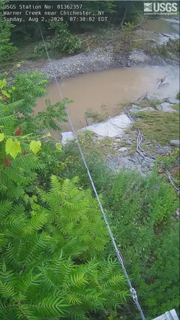
  1. Latest image of Warner Creek near ChichesterWarner Creek near ChichesterSignal uncertain · 6 km
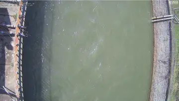
  2. Latest image of Diversion from Schoharie ReservoirDiversion from Schoharie ReservoirSignal uncertain · under 1 km
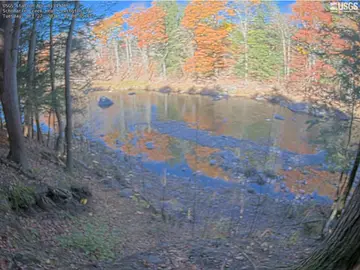
  3. Latest image of Schoharie Creek near LexingtonSchoharie Creek near LexingtonSignal uncertain · 14 km
  4. This cam is shyBeaver Kill at Mount TremperSignal uncertain · 10 km
  5. This cam is shyPanther Kill at Woodland Valley RoadSignal uncertain · 5 km
  6. This cam is shyEsopus Creek below Lost Clove Road at Big IndianSignal uncertain · 8 km